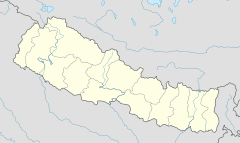
Damak( Paradise city) दमक sundar nagari — Municipality — 7 Story Building of Thana Road Location in Nepal Coordinates: 26°38′N 87°42′E / 26.63°N 87.70°E Coordinates: 26°38′N 87°42′E / 26.63°N 87.70°E Country Nepal Zone Mechi Zone District Jhapa District Area • Total 75.13 km 2 (29.01 sq mi) Elevation 71 m (233 ft) Population (2001) • Total 35,009 • Density 470/km 2 (1,200/sq mi) Time zone Nepal Time (UTC+5:45) Area code(s) 023 Motto: beauty is our wealth new images of Iom damak UNHCR,damak,jhapa Damak (Nepali: दमक) is a town and municipality in Jhapa District in the Mechi Zone of south-eastern Nepal. It is situated between the Ratuwa River in the east and the Mawa River in the west. As of 2001 census total population of city is 35,009. At the time of the 1991 Nepal census it had a population of 41,321 people living in 7,644 individual households. IOM,Damak-11 Paradise city(Damak Chowk) Damak ...


Comments
Post a Comment